Join thousands of book lovers
Sign up to our newsletter and receive discounts and inspiration for your next reading experience.
By signing up, you agree to our Privacy Policy.You can, at any time, unsubscribe from our newsletters.
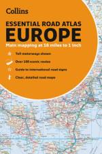
Up-to-date A4 paperback road atlas of Europe. Contains clear, large-scale, detailed road mapping, perfect for touring the Mediterranean, Iberian peninsula, Scandinavia and all European tourist destinations.
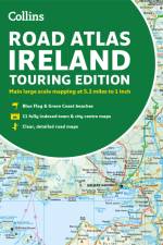
Road atlas, at A4 size, covering the whole of Ireland featuring clear and detailed Collins colour mapping at a scale of 5.2 miles to 1 inch. Perfect for both residents and visitors touring Ireland.
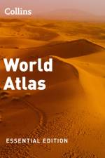
Fully revised and updated reference atlas in the exciting Collins world atlas range. This atlas provides more mapping area than any other atlas at this price.
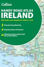
Explore Ireland with this handy format route-planning atlas in full colour, complete with information on places of tourist interest. There are also fully indexed town centre plans of Belfast, Cork, Dublin, Galway, Limerick and Londonderry.
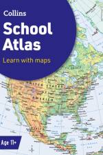
An introductory atlas for secondary schools, perfectly designed to support and motivate Key Stage 3 students in geographical and mapping skills.
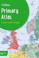
A curriculum-supportive Primary World Atlas for children aged 7-11 years (Key Stage 2). Designed for use in the classroom or at home, this revised edition includes informative politically coloured reference mapping of all major world regions.
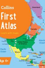
Collins First Atlas is a fun, vibrant and clear starter atlas for 4-7 year olds which provides an introduction to basic geographical and atlas vocabulary.
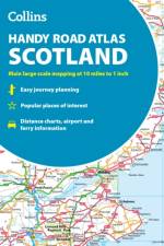
This easy-to-use, handy A5 sized road atlas is your ideal companion for navigating around Scotland. It has extremely clear, route planning maps of Scotland, detailed city plans of the major cities and towns and fits neatly into your glovebox or briefcase or bag.
Sign up to our newsletter and receive discounts and inspiration for your next reading experience.
By signing up, you agree to our Privacy Policy.