


Join thousands of book lovers
Sign up to our newsletter and receive discounts and inspiration for your next reading experience.
By signing up, you agree to our Privacy Policy.You can, at any time, unsubscribe from our newsletters.
This pocket-sized street atlas of the Isle of Wight gives detailed coverage of the whole of the island and mainland towns nearby.
"Many people who have fulfilled the 'power dream' found it empty and have given it up; the American Dream has become a dead-end street."-Dr. Claude Mr. Steiner, 1981
MICHELIN National Map QUEBEC will give you an overall picture of your journey thanks to its clear and accurate mapping scale 1/1,100,000. Our National Map Series will help you easily plan your safe and enjoyable journey thanks to a comprehensive key, a complete name index as well a clever time & distance chart. Michelin's driving information will help you navigate safely in all circumstances. In addition, some MICHELIN National Maps are cross-referenced with the MICHELIN Green Guide highlighting destinations worth stopping for! With MICHELIN National Maps, find more than just your way! MICHELIN NATIONAL MAPS feature: - Up-to-date mapping - A scale adapted to the size of the country - A clear and comprehensive key - Distance and time chart - Place name index - Driving and road safety information - Tourist sights information
Philip's created this new series for walkers, cyclists and local explorers at a scale that provides greener options to uncover all the nature and hidden gems in your local area. From Bath to Yatton, we cover all of Somerset in glorious detail.
Philip's created this new series for walkers, cyclists and local explorers at a scale that provides greener options to uncover all the nature and hidden gems in your local area. From Chester to Winsford, we cover all of Cheshire in intriguing detail.
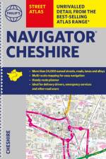
The only detailed colour atlas that gives comprehensive coverage of the entire region - no other atlas names every street in Cheshire. The perfect back-up for emergency services, delivery drivers and locals.
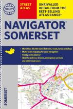
The only detailed colour atlas that gives comprehensive coverage of the entire region - no other atlas names every street in Somerset. The perfect back-up for emergency services, delivery drivers and locals.
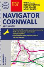
The only detailed colour atlas that gives comprehensive coverage of the entire region - no other atlas names every street in Cornwall and Plymouth. The perfect back-up for emergency services, delivery drivers and locals.
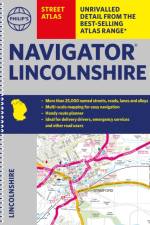
The only detailed colour atlas that gives comprehensive coverage of the entire region - no other atlas names every street in Lincolnshire. The perfect back-up for emergency services, delivery drivers and locals.
Falset kort i målestokken 1:700.000 med register. På kortet er markeret seværdigheder, som er omtalt i Michelin Green Guide Romania. Indsatte bykort over Sofia, Plovdiv samt Varna.
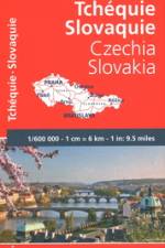
Falset kort i den præcise målestok 1:600.000 med register. Indsatte bykort over Prag og Bratislava. Forventede køretider samt afstandsangivelser.- Praktisk information om sikkerhed- Opdateret kartografi
Much has changed in this region since the first edition of this Atlas was published in 2016, notably the confirmation of the route of HS2 and extensions to the West Midlands Metro. As a consequence, a completely revised edition of this masterly cartographic portrayal of the railways and tramways of the West Midlands by leading railway cartographer, Joe Brown, is particularly timely.The Atlas covers the entire West Midlands continuous urban area of Birmingham, Walsall, Wolverhampton, West Bromwich, Stourbridge and Dudley. It also features the towns and cities surrounding this core area. This includes Stafford, Lichfield, Tamworth, Nuneaton, Coventry, Rugby, Leamington Spa, Stratford-upon-Avon, Bromsgrove and Kidderminster. As well as dealing with the complex railway system that served the area, the entire historic passenger tramway network of the region is mapped with opening and closing details provided in an Appendix. This is brought up to date with the current West Midlands Metro system and future extensions to it which have been announced as well as the planned Coventry ''Very Light Rail'' system.Intricate and finely drawn mapping shows individual track and platforms for all lines whether open and closed, as well as stations, changes of station name and opening and closing dates, and much, much more. Many of those both interested in both transport and local history will already be aware of the superb quality of Joe Brown''s cartography and will wish to add this new and much enhanced edition of the Birmingham and West Midlands Railway Atlas to their libraries.
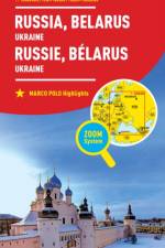
Falset kort over Rusland indtil lige vest for Uralbjergene samt området ved Baikalsøen i målestokken 1:2 mill. - øvrige Rusland i målestokken 1:10 mill. Indsat hæfte med register samt 4 bykort. Afstandstabel samt 7 selvklæbende markeringspile for at bevare overblikket.
An essential aide-memoire for those with an interest in all aspects of whisky. It is an invaluable guide for anyone wondering about the place-name on the label of a bottle of Scotch. It provides information on the meaning of the name, the language it is from, or if it is even real.
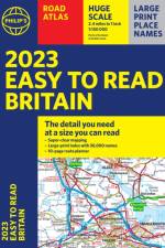
The detail you need - at a size you can read. Our newest bestselling 2023 Easy to Read Britain Road Atlas from Philip's has super-clear, large-scale, large-print maps that everyone can read easily. Practical and chunky A4-sized paperback.
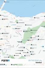
This well-researched guide to contemporary building design in Istanbul explores new architectural directions and urban development in Turkey's largest and most visited city.
An illustrated guide to the wonders of planet Earth.
Walking guide to the Pembrokeshire Coast National Park, with 20 best routes chosen by the park rangers. Each walk varies in length from 2 to 10 km and can be completed in less than 4 hours.
Sign up to our newsletter and receive discounts and inspiration for your next reading experience.
By signing up, you agree to our Privacy Policy.