- Over 5 million books
-
Scored 4.1 on Trustpilot Excellent customer service
- Fast delivery
- 30 days return policy

The Shankill Butchers
by Martin Dillon
£9.49
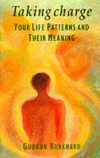
Taking Charge
by Gudrun Burkhard
£11.99
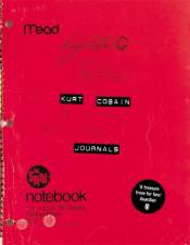
Kurt Cobain
by Kurt Cobain
£18.99
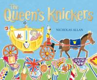
The Queen's Knickers
by Nicholas Allan
£7.99

Mein Kampf
by Adolf Hitler
£18.99

Norwegian Wood
by Haruki Murakami
£8.99 - 9.49

Leaders and Their Followers in a Dangerous World
by Jerrold M. Post
£24.99

Becoming the 0.1%
by Gareth Timmins
£10.99

Where Willy Went
by Nicholas Allan
£7.99

Position of the Day
by Nerve.com
£8.99

The Tomten
by Astrid Lindgren
£9.99

Penis Pokey
by Christopher Behrens
£7.99


Mansfield Park
by Jane Austen
£7.99

Jigs & Fixtures for the Table Saw & Router
by Woodworker's Journal
£9.99

The Atlantic Salmon
£169.99

Collins Complete British Mushrooms and Toadstools
by Paul Sterry
£15.49
Upcoming Bestsellers
Huge selection of cheap books, ebooks, audiobooks and games
Tales offers you the best prices on +8.5 mio. books with the fastest delivery to the UK. We think that books should be available to everyone so our prices are as low as possible. We offer the fastest delivery in the UK so when buying books online at Tales you can just lean back and wait for your books to arrive at your doorstep. We also offer a great selection of ebooks and audiobooks that you can read or listen to on any device whether it's the latest titles or bestsellers.